 The Barton Creek greenbelt is a treasure near downtown Austin if you’re interested in a get away that is not far away. On a beautiful spring day, we hiked the entire 7.9 mile long trail, considered to be one of the top 10 best hiking trails in Texas for good reason, snaking through more than 800 acres of centrally located urban parkland. The official start of the trail is in the heart of Zilker Park, home of the Austin City Limits music festival and Barton Springs Pool, a place where the masses go to swim and worship the sun in bathing suits (or not). Anticipating the greatest crowds and traffic congestion near this end, we entered the trailhead at the far western end, at the access point on Camp Craft Road, and hiked the entire greenbelt back to the Zilker Park entrance. The Camp Craft Road trail head (Also known as – “Trail’s End” or “Scottish Woods”) is hidden in a subdivision that totally obscures this urban wilderness treasure. We parked the car in this subdivision near this access point and planned to Uber our way back from Zilker Park.
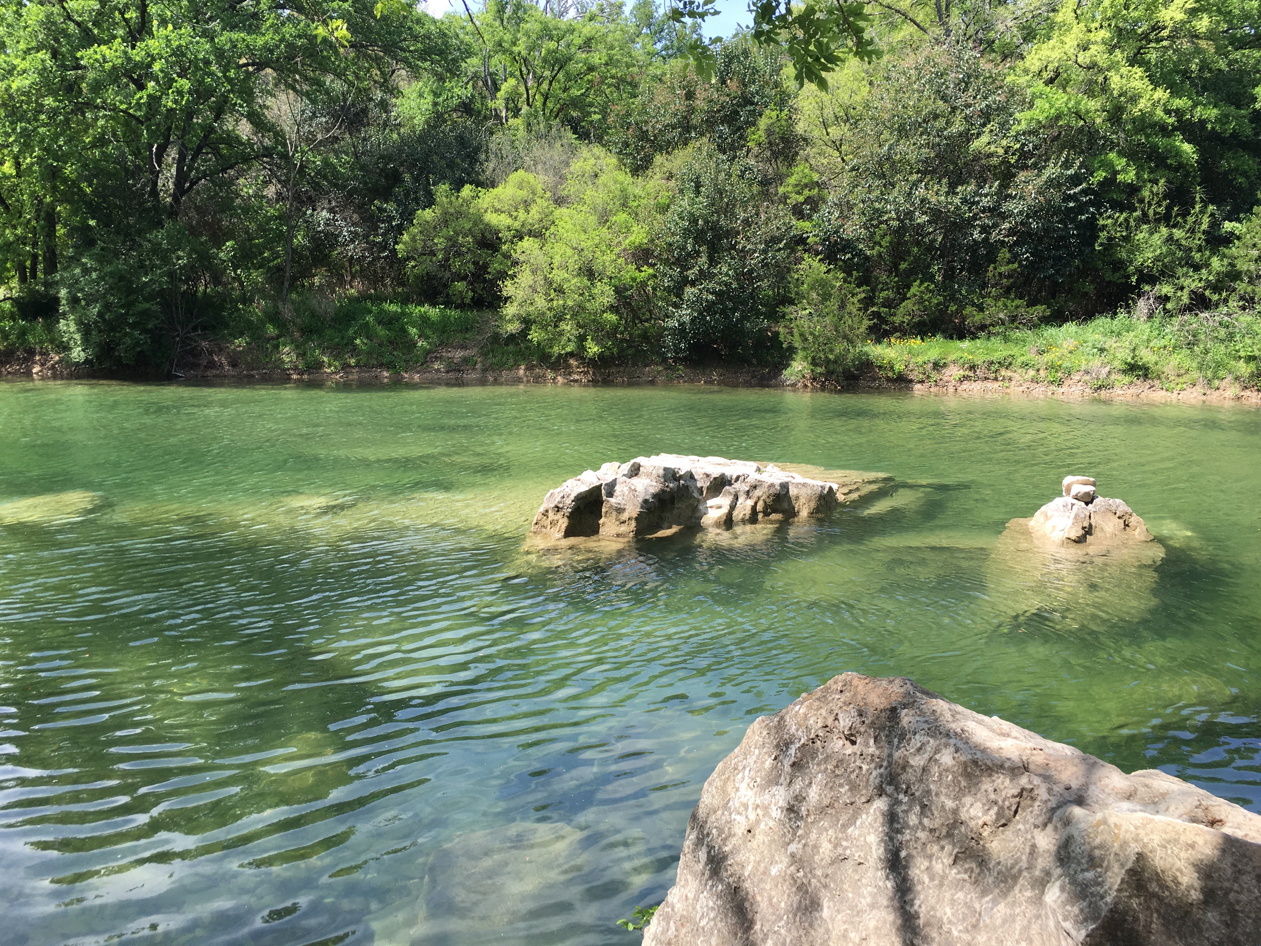
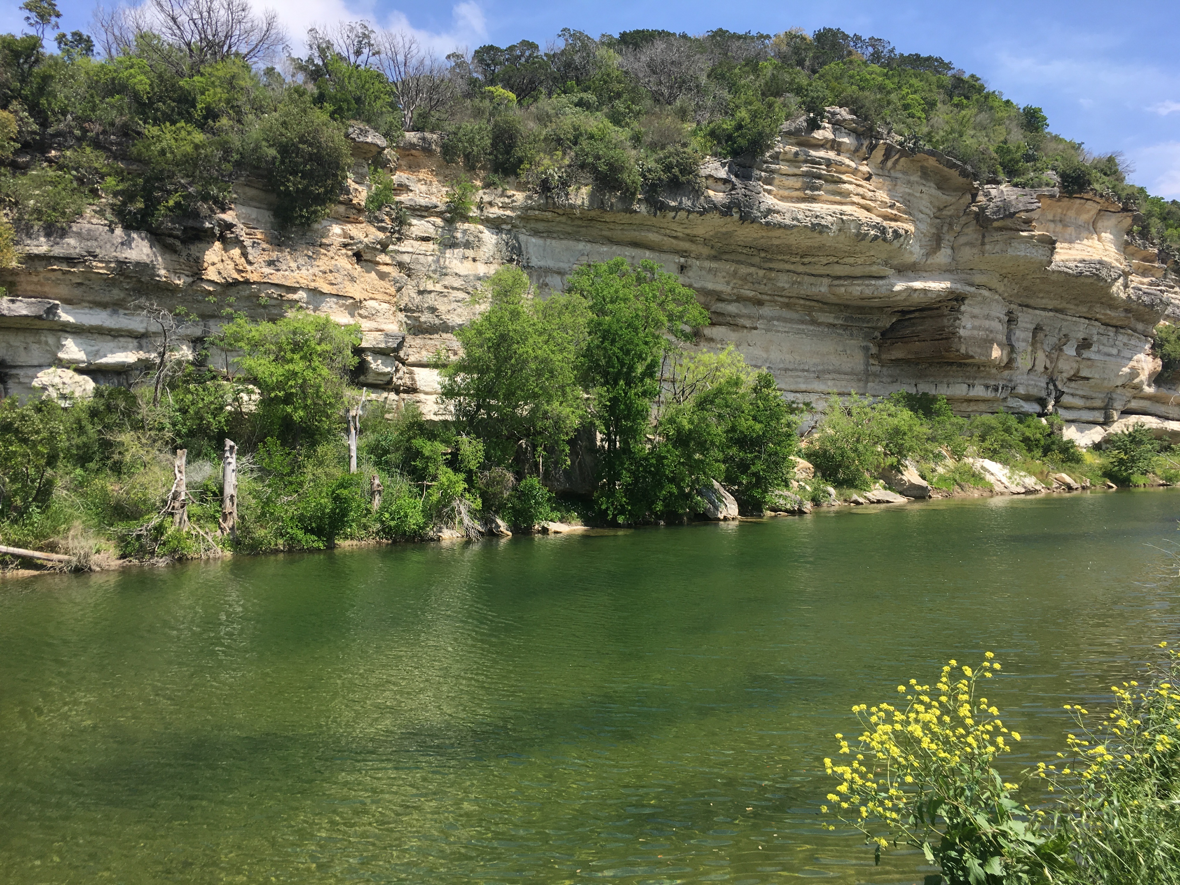 The greenbelt is a treasure for biking, hiking, swimming, climbing and more, with sheer limestone cliff walls, dense lush vegetation, and popular swimming areas. When the water in the creek is running (usually in spring), this is a fantastic place to spend some time, and on this Easter weekend in 2016, a significant amount of the Austin population knew that too. The heavy fall rains had left the creek in its best conditions in years.
 The Camp Craft Road trail head starts above the river and there is a long descent down to Barton Creek. Even there, there were a spattering of mountain bikers, hikers, and joggers. The greenbelt consists of three areas: the Lower Greenbelt, the Upper Greenbelt and the Barton Creek Wilderness Park. As the day progressed, we came across spots known as Twin Falls, Sculpture Falls, the Seismic Wall, and Campbell’s Hole, and other places unnamed but just as beautiful.
There are several access points from road network (see the links below for some 3rd party maps and guides… the City of Austin as of this posting does not have very good maps or information online but plenty of other sites do). As the day wore on it became more obvious that within a quarter of a mile surrounding each access point, you will find more and more people clogging the trail and finding ways into the water. But, as always – just a quarter mile down the trail from these popular access points and swimming holes, the trail traffic thins out and becomes relatively free of what we lovingly call “flip flop hikers.”
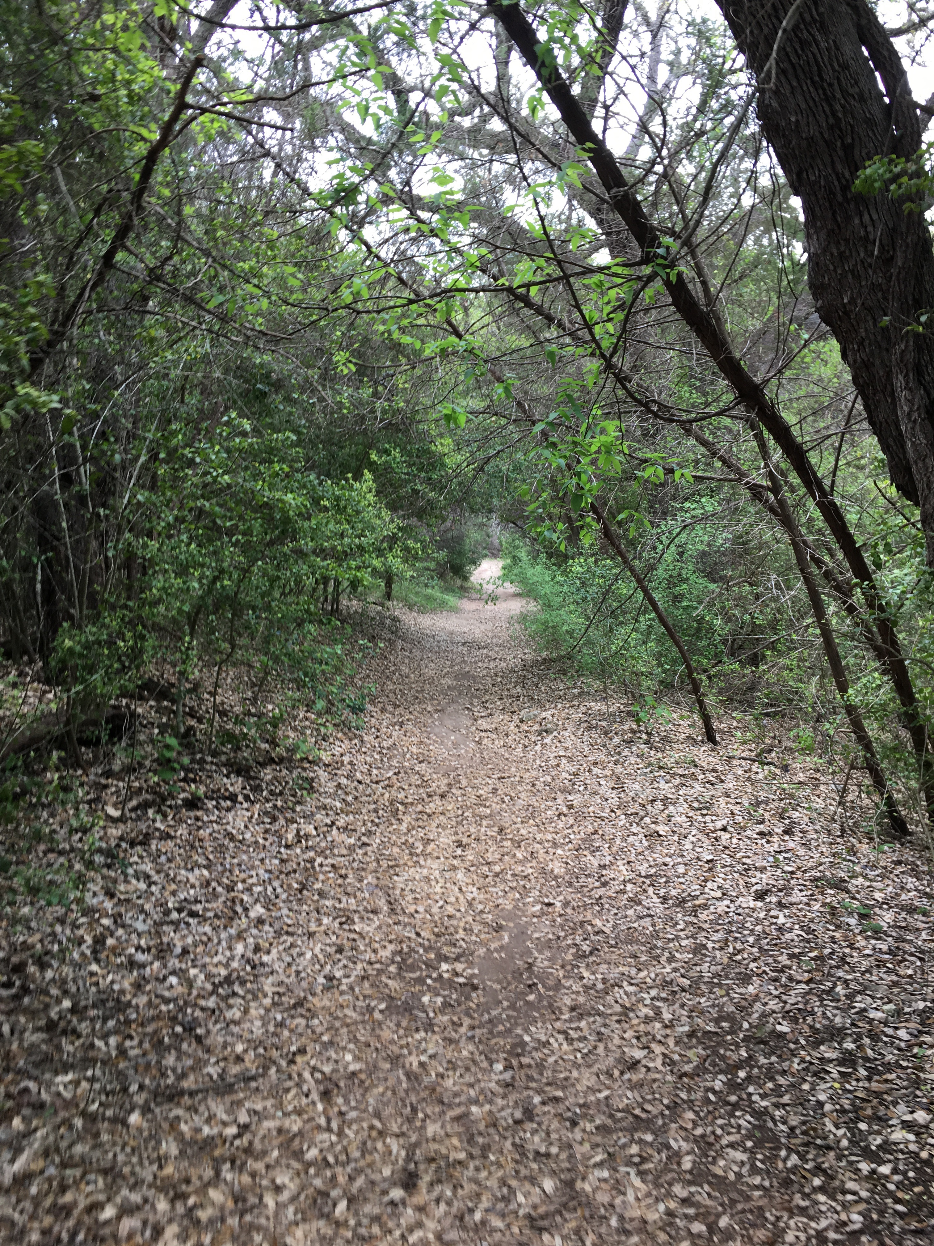
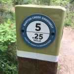
It was a beautiful day, highs in the mid-70s, and the trail was mostly shaded. We encountered several beautifully secluded swimming spots, lots of happy dogs, mountain bikers decked out in all their gear, and a crowd of rock climbers at the Seismic Wa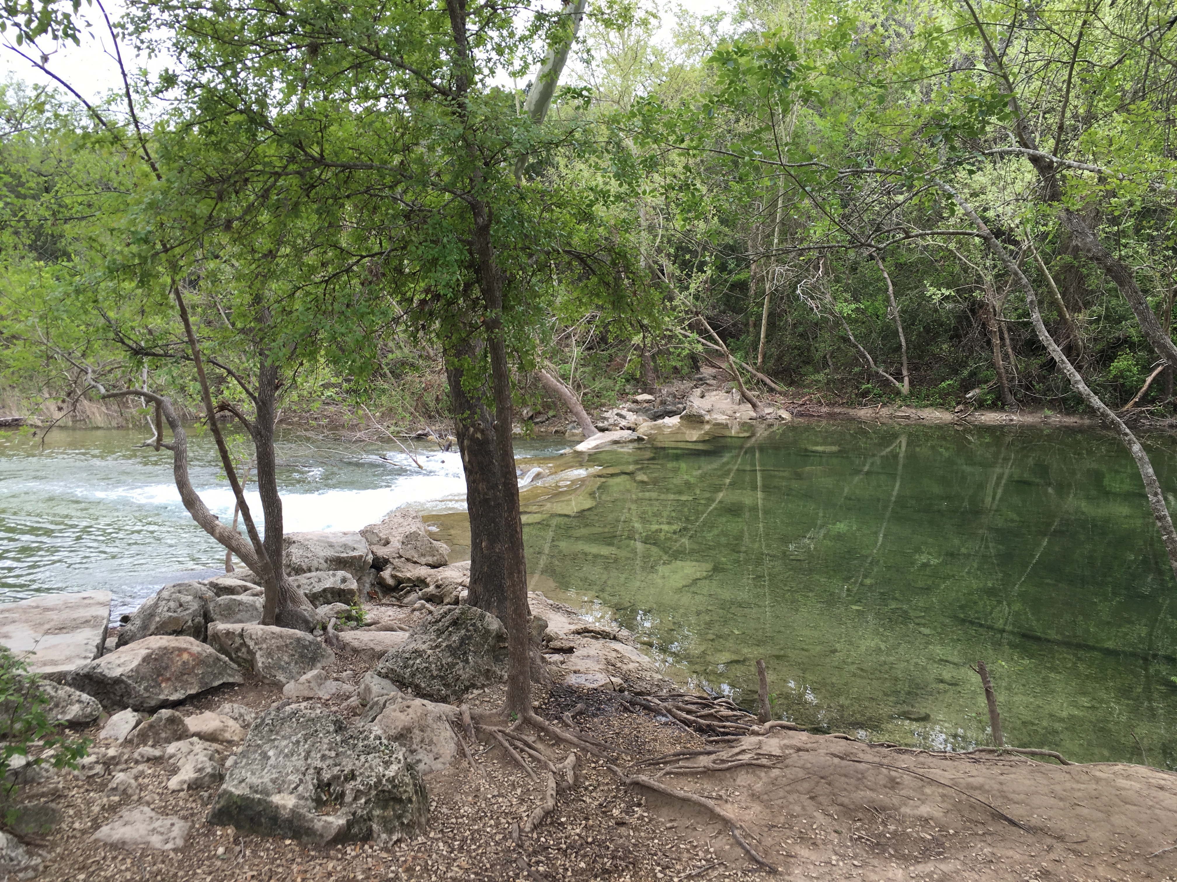 ll. The trail is mostly well marked, but beware of many side foot paths etched from the main trail due to the heavy use of the trail that can get you a bit turned around. Generally, stay along the creek and you’ll be fine! Google maps actually has most of the trail marked so you can use it to check your location if needed.
From end-to-end, the hike took us about 4.5 hours, including a swim stop and a couple of breaks. The trail is rocky and uneven, so we recommend sturdy hiking books, but be prepared to take them off to cross the stream in a couple of places. Note: when the water is high, some of the trail is impassable and you may have to turn back. This trail is usually closed and can be dangerous during or after heavy rainfall. Also, beware of poison ivy – the sides of the trails are covered in it! Stay out of the bushes and/or wash carefully with soap when you get back. (Same applies for your dog.)
Once we exited the trail at Zilker Park, we walked down to Daily Juice (prepare to spend close to $20 on two drinks!) and ordered an Uber ride back to our car. The Uber driver could NOT understand where we had come from or that we had walked that far… after explaining it several times and showing him some of these pictures from the trail, maybe he’ll check out this urban treasure sometime soon. It’s amazing that many people haven’t experienced this beautiful park in their own backyard.
Bottom Line: One of the best urban trails around, hands down.
Pros
- Easy access urban trail
- Multi sport (hike, swim, bike, rock climb)
- Beautiful scenery and trail features
- Great people watching
Cons
- Crowds (go early or at off times)
- Occassionally hard to wayfind due to side foot paths
- Dangerous and impassable during/after heavy rainfall
- Beware of poison ivy along the trail!